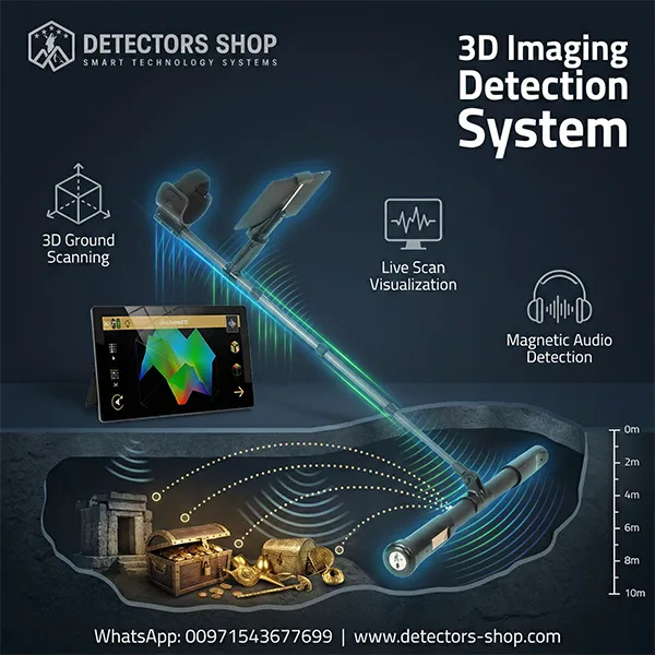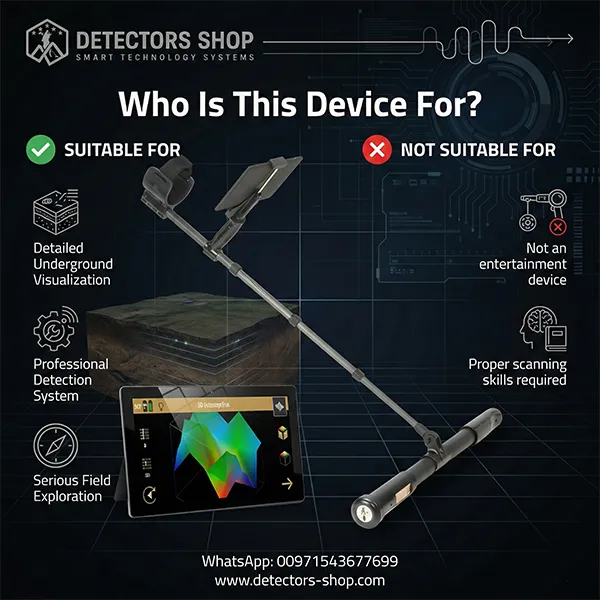


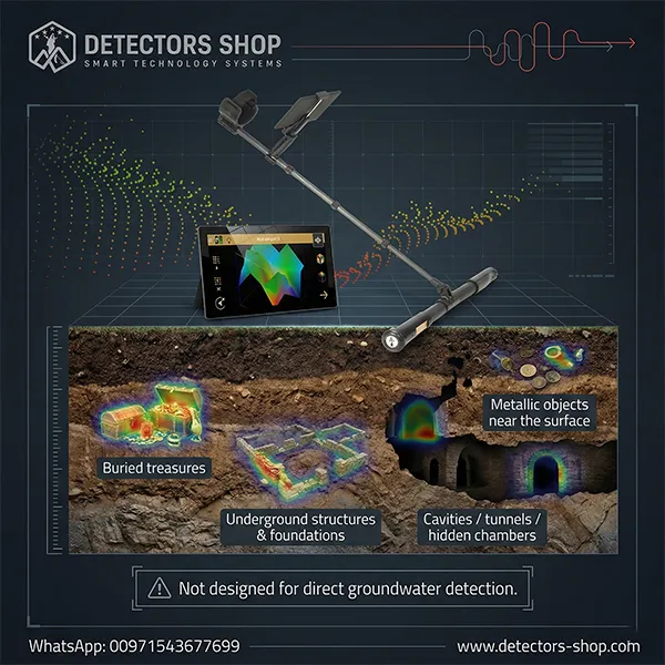
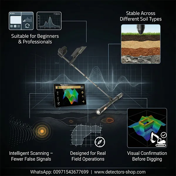
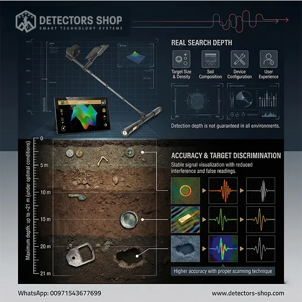
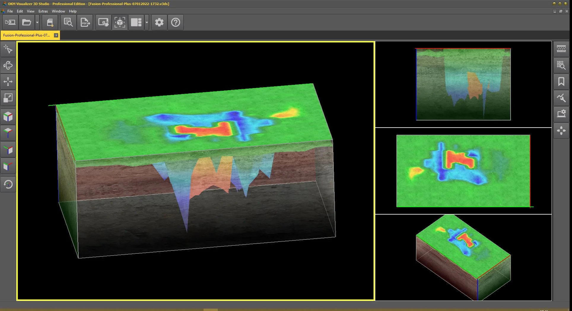
1.
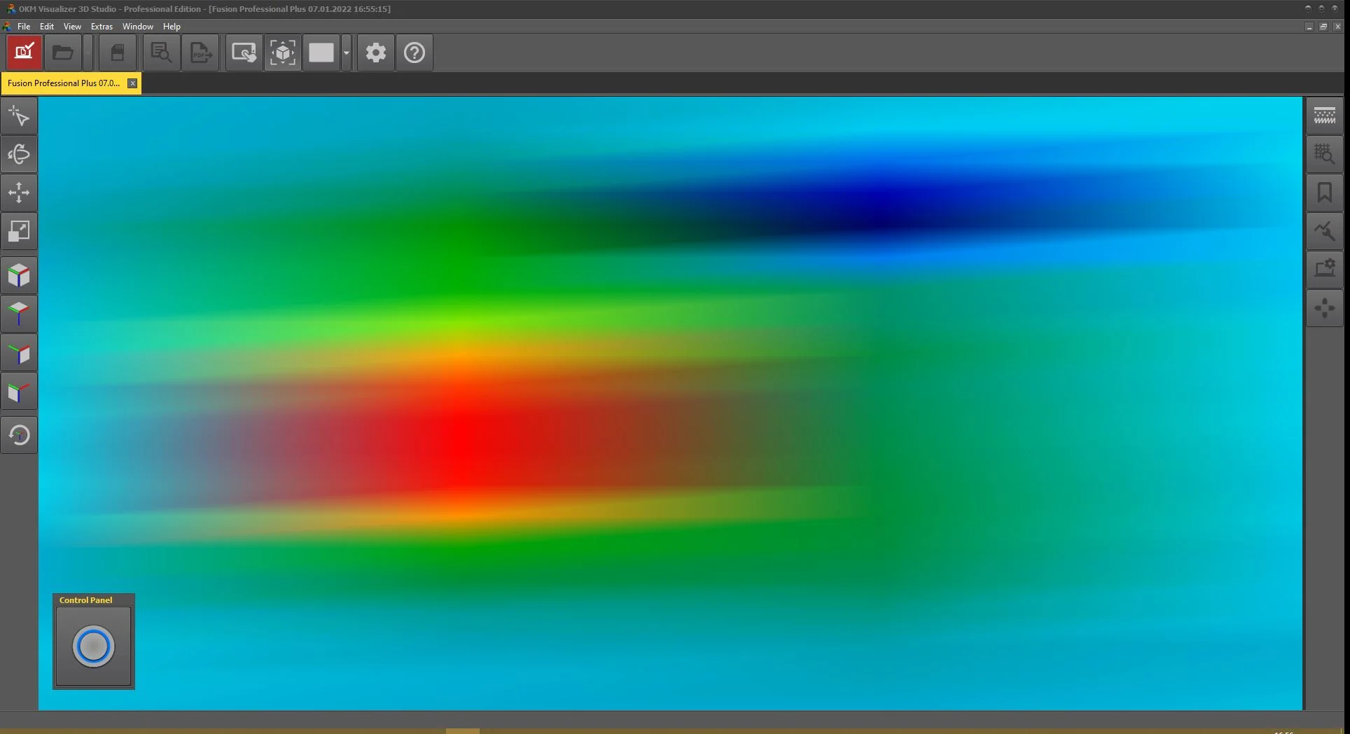
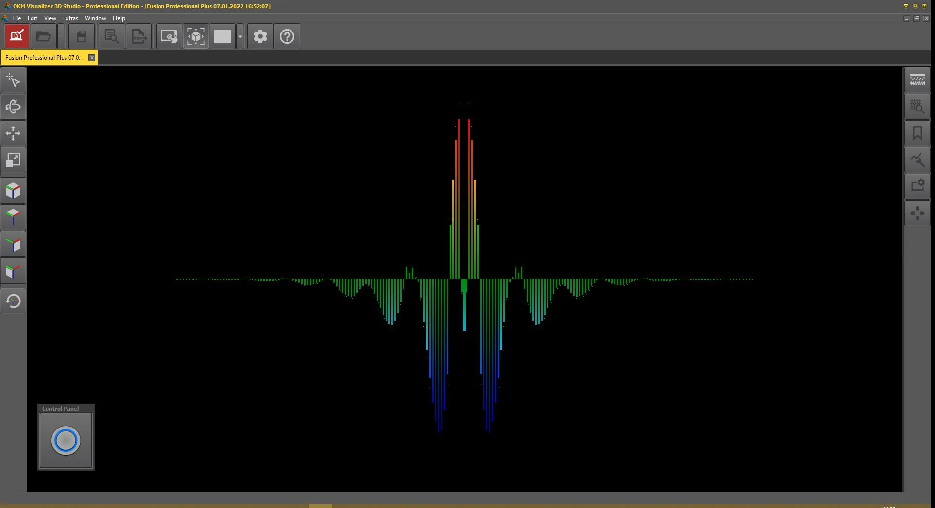
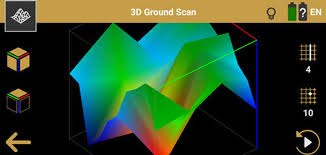
3D Ground Scanning System
This system scans the ground and converts collected data into a three-dimensional visual model. It allows the user to clearly identify the shape, size, and depth of underground targets, making it ideal for professional analysis and archaeological exploration.