




1.
3D Imaging Search System
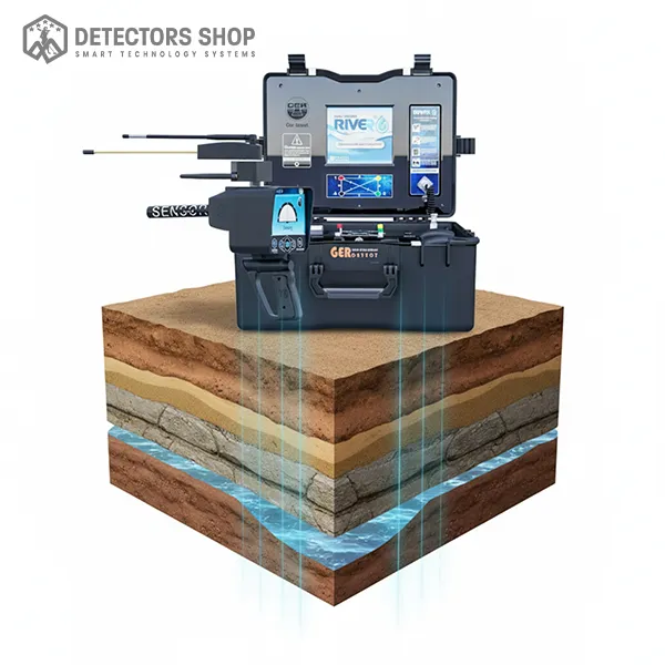
The River G 3 tablet application displays
processed geophysical survey data in a three-dimensional view.
Users can rotate the display and review the accompanying readings.
- Water classification: fresh, saline or highly saline
- Estimated depth information in metres
- Water, salinity and rock indicators
- 3D visualisation for comparing survey results
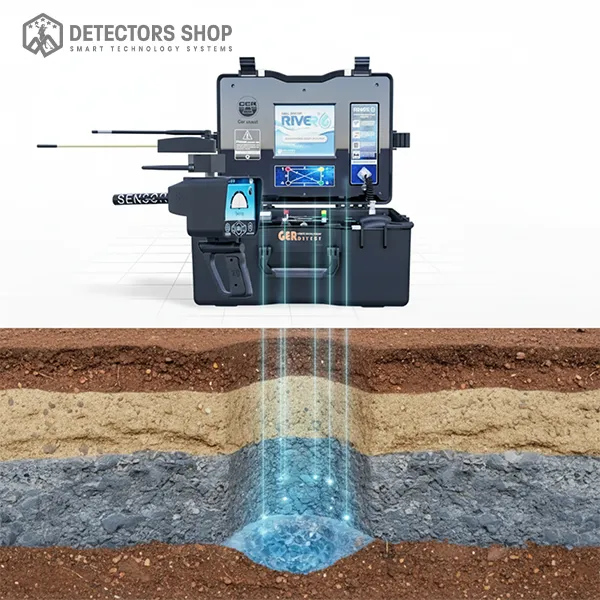
The 3D view represents interpreted measurements, rather than
a photograph of underground water. Assess results alongside
repeat surveys and geological information before drilling.