






1.
3D Ground Imaging System
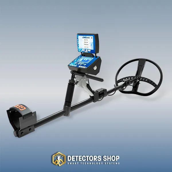
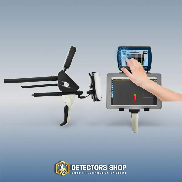
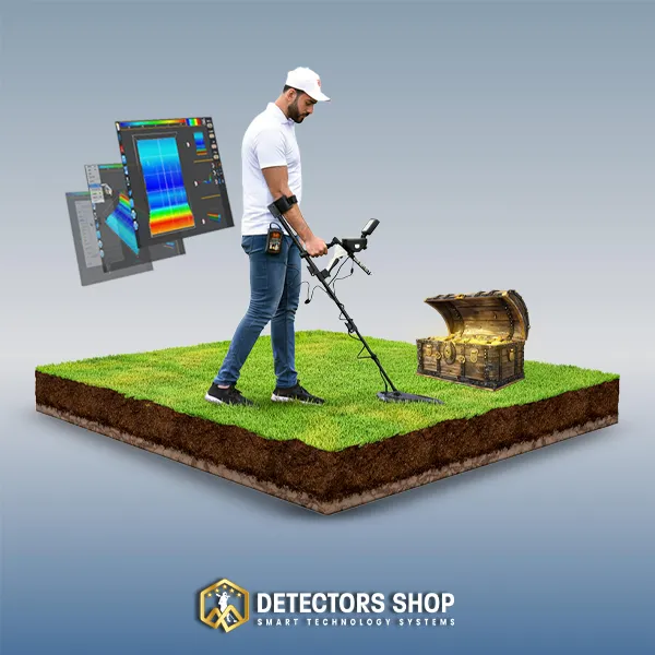
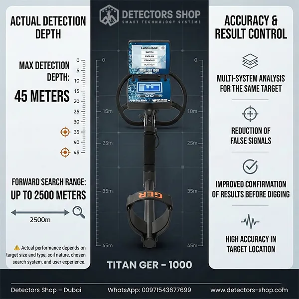
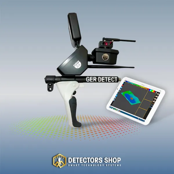
The TITAN GER 1000 3D Ground Imaging System scans underground layers and displays detailed imaging results from multiple viewing angles directly on the device screen.
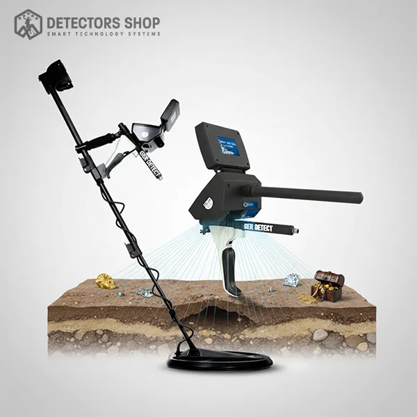
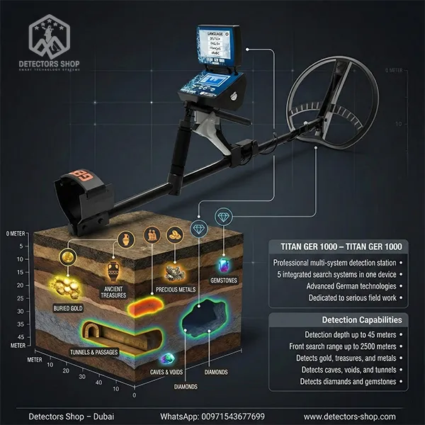
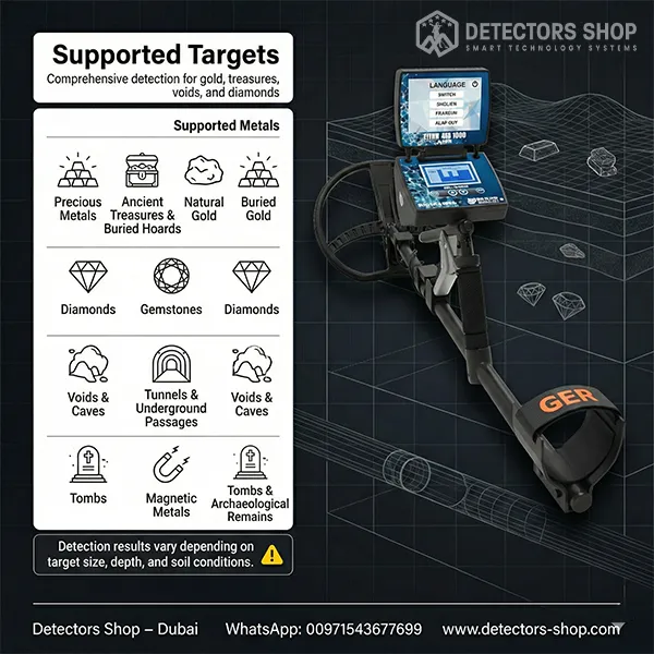
This system helps users visualize the approximate shape and location of underground targets, including buried metals, treasures, caves, voids, and underground passages.
It also provides target depth information in meters and centimeters, helping users evaluate potential targets before excavation.