






UIG Ground Scanner Review
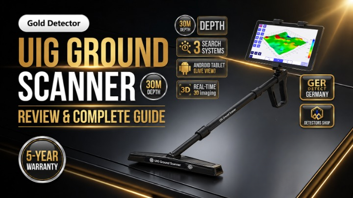
The UIG Ground Scanner by renowned German manufacturer GER Detect represents a major leap forward in underground imaging and treasure hunting technology. Engineered specifically for locating buried gold, ancient treasures, archaeological sites, caves, and structural voids, this multi-system detector delivers precise scanning capabilities up to depths of 30 meters underground. Featuring three specialized imaging modes, real-time Bluetooth data transfer, and a high-resolution 3D visualization tablet, the UIG Ground Scanner provides prospectors and researchers with an all-in-one solution for accurate subsurface analysis in all terrain conditions.
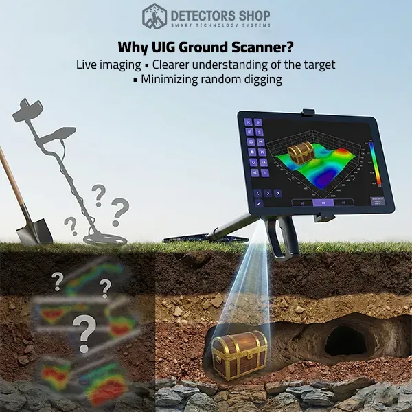
Table of Contents
UIG Ground Scanner Review & Core Highlights
The UIG Ground Scanner stands out as one of the most versatile underground detection systems engineered by GER Detect in Germany. Built with high-grade European quality standards and holding both CE and ISO 9001 certifications, the device is designed to perform reliably across diverse soil environments worldwide, including rocky terrains, mineralized ground, and highly humid conditions.
Unlike traditional metal detectors that rely solely on audio signals, the UIG Ground Scanner integrates advanced multi-sensor signal processing with real-time graphical visualization. By pairing a lightweight, ergonomic multi-tasking imaging sensor with a dedicated multi-language Android tablet, prospectors can identify target depth, size, and metallic composition with extreme accuracy before digging.
Key System Highlights:
- 3 Dedicated Search Technologies: Includes 3D Ground Imaging, Ground Live Scan, and Wall Live Scan.
- 30-Meter Maximum Depth: Detects deeply buried metallic targets, chambers, tunnels, and caves up to 30 meters.
- High-Speed Data Transmission: Uses 2.4 GHz Bluetooth wireless connectivity to stream sensor data seamlessly to the display tablet.
- Multilingual Interface: Fully supports 6 languages: English, Arabic, French, German, Spanish, and Portuguese.
- Acoustic Discrimination: Provides distinct audio alerts for precious metals versus underground voids.
- Ergonomic Design: Features a lightweight telescopic arm and an adjustable grip for effortless field mobility during extended sweeps.
Category Specification Details Manufacturer
| Category | Specification Details |
|---|---|
| Manufacturer | GER Detect (Germany) |
| Certification | European CE Certification & ISO 9001 |
| Search Depth | Up to 30 Meters (98 Feet) in 3D System |
| Detection Technologies | 3D Ground Imaging, Ground Live Scan, Wall Live Scan |
| Data Transmission | Bluetooth 2.4 GHz Radio Frequency |
| Processor Speed | High-Speed 72 MHz Data Processing |
| Supported Languages | English, Arabic, Spanish, French, German, Portuguese |
| Battery Run Time | Up to 10 Hours continuous operation |
| Battery Operating Temperature | 0°C to 50°C |
| Battery Storage Temperature | -5°C to 70°C |
| Charger Operating Temperature | 0°C to 50°C |
| Charger Storage Temperature | -30°C to 80°C |
| Charger Input Voltage | 90 → 250 VAC 50→60 Hz |
| USB Output Current | 5 VDC / 2100 mA |
| Device Weight | 1,100 g |
| Battery Weight | 330 g |
| Empty Bag Weight | 2,230 g |
| Total Package Weight | 3,900 g |
| Bag Dimensions | 635 mm x 335 mm x 145 mm |
| Telescopic Arm Dimensions | Closed: 575 mm – Extended with Sensor: 880 mm |
| Warranty | 5-Year Limited Warranty on Main Unit Electronics |
The 3 Detection Systems Explained
The versatility of the UIG Ground Scanner stems from its three distinct detection modes, allowing users to adapt seamlessly to different search terrains, structural obstacles, and project requirements.
1. 3D Imaging System
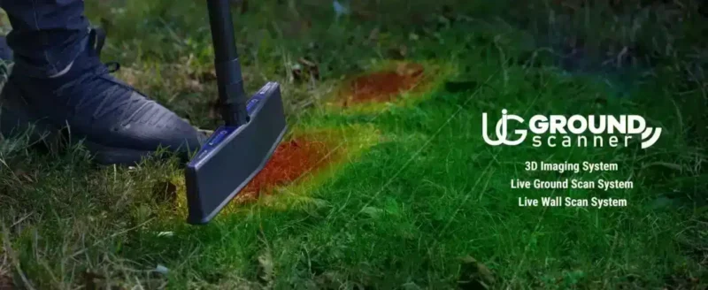
This is the primary system for comprehensive subsurface mapping and precise depth measurement up to 30 meters. Designed for full area surveys, it captures data points across a structured grid and generates full-color 3D visual models.
- Configurable Grid Matrix: Users can define grid size from a minimum of 3×3 up to 12 columns (lines) by 12 steps per scan.
- Soil Type Profiling: Features specific calibration presets for Normal, Rocky, Sandy, and Highly Mineralized ground to prevent false signals.
- Scan Trajectory Options: Supports both Parallel movement (one-direction scanning) and Zig-Zag movement (back-and-forth scanning).
2. Ground Live Scan System
The Ground Live Scan mode offers rapid real-time ground tracking without needing to set up a full grid. As the operator walks over the survey line, the tablet continuously updates a dynamic signal graph accompanied by real-time audio indicators:
- Neutral Ground: Displayed as a stable green baseline chart.
- Metallic Targets: Indicated by a rising red chart peak and an elevated signal sound.
- Voids and Caves: Highlighted by a dipping blue chart gradient and a low-frequency tone.
3. Wall Live Scan System
A specialized feature rarely found in standard detectors, the Wall Live Scan mode allows vertical exploration. By shortening the adjustable telescopic arm, prospectors can sweep vertical surfaces, cliff walls, cave interiors, and ancient stone structures. It provides immediate chart and audio discrimination to locate hidden wall cavities, secret rooms, or embedded metallic caches behind masonry.
For More informant you can Download user manual
Advanced 3D Analysis & Display Modes
Once a scan matrix is fully captured using the 3D Imaging System, the software on the Android tablet translates the raw signal data into interactive graphical formats. Operators can utilize three comprehensive display options to analyze targets before initiating excavation:
1. 2D Grid View
Provides a clear top-down view of the scanned area divided into individual square cells corresponding to the lines and steps taken.
- Depth Indicator: Automatically calculates and displays depth estimates for confirmed targets.
- Value Readings: Displays raw signal numbers for each cell to verify signal intensity.
- Color Bar Breakdown: Features a percentage chart quantifying ground mineral levels, metallic targets, and void distributions.
2. Layer Display View
Allows prospectors to slice the subsurface data into distinct geological layers.
- Layer Isolation: Separates metallic target layers, soil layers, salt layers, and cavity layers to eliminate false positives.
- Height Adjustment: Enables increasing or decreasing layer height scale to accentuate small or subtle target signals.
- Full 3D Rotation: Supports 6-axis rotation, allowing users to view the target profile from top, side, and isometric angles.
3. 3D Gradient View
Generates a continuous three-dimensional shape model representing the physical structure of buried items.
- Streamlined Gradient: Smooths color transitions for high-level object shape recognition.
- Sharp Gradient: Highlights distinct boundaries between different soil densities and metallic boundaries.
- Cubic Gradient: Renders targets in geometric cubic blocks, ideal for identifying man-made structures, walls, or chest-like containers.
UIG GROUND SCANNER detector | best Scan Technique to find treasure | detectors Shop
Step-by-Step Field Operation Guide
To achieve maximum efficiency and accurate scanning results with the UIG Ground Scanner, operators should follow this systematic field workflow:
1. Physical Assembly
- Attach the multi-tasking imaging sensor securely to the telescoping arm holder.
- Mount the ergonomic handle and lock the tablet stand into place.
- Connect the external 10.8V Li-ion battery pack to the socket located on the arm assembly.
2. System & Bluetooth Setup
- Turn on the battery pack by holding the power button for 2 seconds.
- Launch the Ground Scanner App on the Android tablet.
- Tap the Connect icon and select
UIG-GSto set up Bluetooth pairing (enter1000if prompted for a PIN).
3. Search System & Soil Calibration
- Select your preferred mode (e.g., 3D Imaging System).
- Set the desired grid parameters (Lines: 3 to 12, Steps: 3 to 12).
- Choose your ground profile (Normal, Rocky, Sand, or Mineral) and select your scan path (Parallel or Zig-Zag).
- Hold the unit steady and perform ground calibration by keeping the blue balance indicator centered in the circle.
4. Executing the Scan Grid
- Begin scanning at the starting corner of your grid.
- Press the physical capture button on the handle grip (or tap the tablet screen) at each point.
- Walk forward in uniform steps of 30 cm per capture point.
- Maintain a parallel distance of 30 cm between adjacent scan lines until all steps and lines are completed.
What’s Included in the Box?
When purchasing an original UIG Ground Scanner package, the complete set arrives in a protective, heavy-duty carrying case containing the following components:
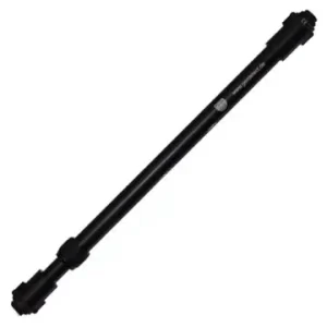
- Main Telescopic Sensor Arm: Lightweight adjustable arm with ergonomic grip.
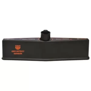
- Multi-Tasking Imaging Sensor: High-precision sensor unit for ground and wall scanning.
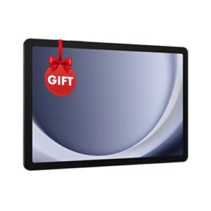
- Android Tablet: Pre-installed with the official multi-language Ground Scanner App.
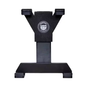
- Tablet Mounting Stand: Secure bracket clip to attach the tablet directly to the arm.
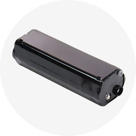
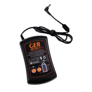
- Rechargeable Battery Pack: External Li-ion battery (10.8V / 27 Wh / 2500 mAh).
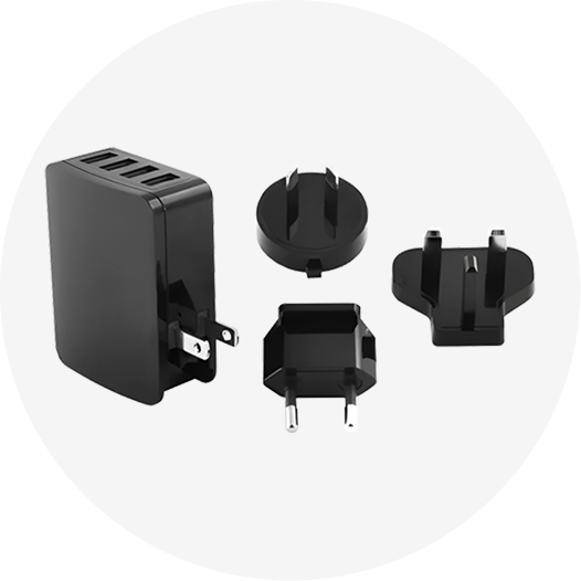
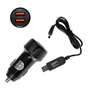
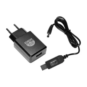
- Power Adapters: Main AC wall charger and DC car charger.
- Heavy-Duty Protective Carrying Case: Padded, impact-resistant travel bag.
Safety & Operational Best Practices
To protect the device hardware and ensure optimal scanning accuracy in the field, keep the following manufacturer guidelines in mind:
- Avoid Wet Conditions: Do not operate the scanner during rain or extreme wet weather; the unit is weatherproof but not fully submersible.
- Prevent Signal Interference: Stay clear of high-voltage energy sources, cell phone towers, and active mobile phones during scanning to eliminate false noise.
- Battery Care: Charge the external battery fully before heading into the field. Always use the original GER Detect charger.
- Warranty Coverage: The main electronic unit includes a 5-year manufacturer warranty covering electronic faults (excludes physical damage from drops, unauthorized opening, battery charger, or tablet).
Final Verdict: Is the UIG Ground Scanner Worth It?
The UIG Ground Scanner by GER Detect is a powerful and versatile underground detection solution for treasure hunters, archaeologists, and professional prospectors. Combining 3D ground imaging, live ground scanning, and specialized wall scanning into a single lightweight unit makes it uniquely equipped to handle diverse search environments—from open fields to caves and ancient structures.
With a 30-meter depth capacity, real-time Bluetooth data transfer, and robust multi-layer 3D analysis tools, the scanner removes much of the guesswork associated with traditional metal detectors. If you require precise target depth estimation, structural cavity location, and target shape modeling prior to excavation, the UIG Ground Scanner delivers exceptional accuracy and long-term reliability backed by German engineering.
For current pricing, package details, availability, training, and the five-year warranty, view the official UIG Ground Scanner page or contact the Detectors Shop team for a professional consultation before purchasing.
Ger Product
-
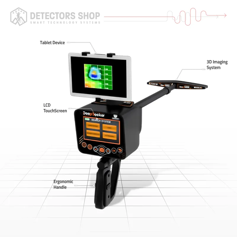
Deep Seeker
ر.س 20,603 -

Diamond Hunter Smart
ر.س 8,429 -
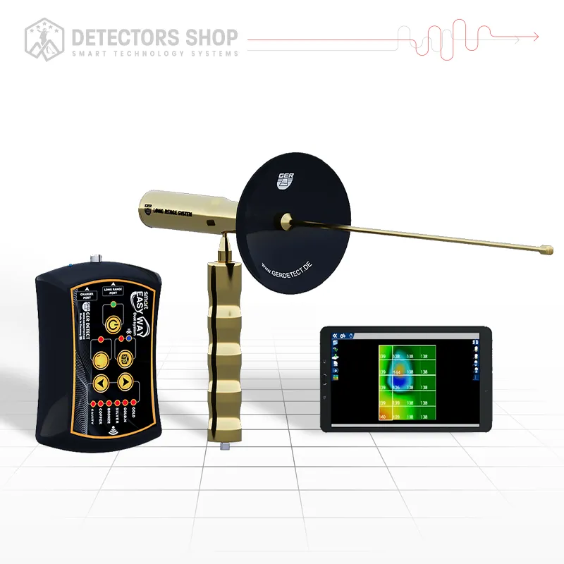
EASY WAY SMART
ر.س 14,048 -
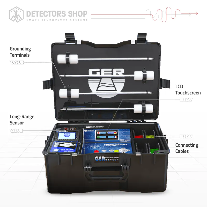
FRESH RESULT 2
ر.س 21,540 -
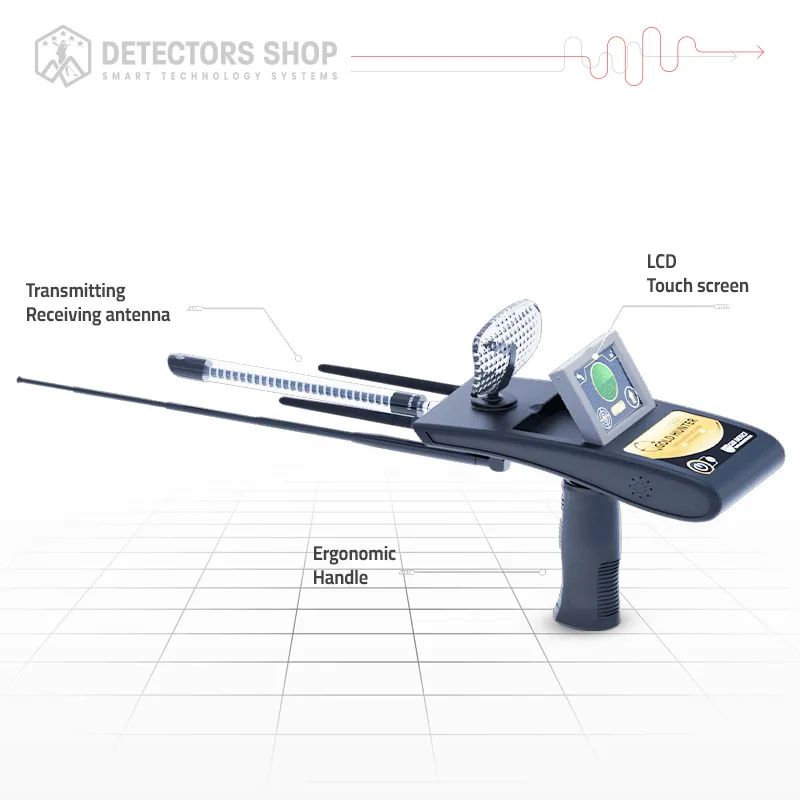
Gold Hunter Smart
ر.س 9,365 -
RIVER G 3
ر.س 26,222 -
RIVER-F SMART
Original price was: ر.س 11,238.ر.س 8,429Current price is: ر.س 8,429. -
Titan 400 Smart
ر.س 16,857